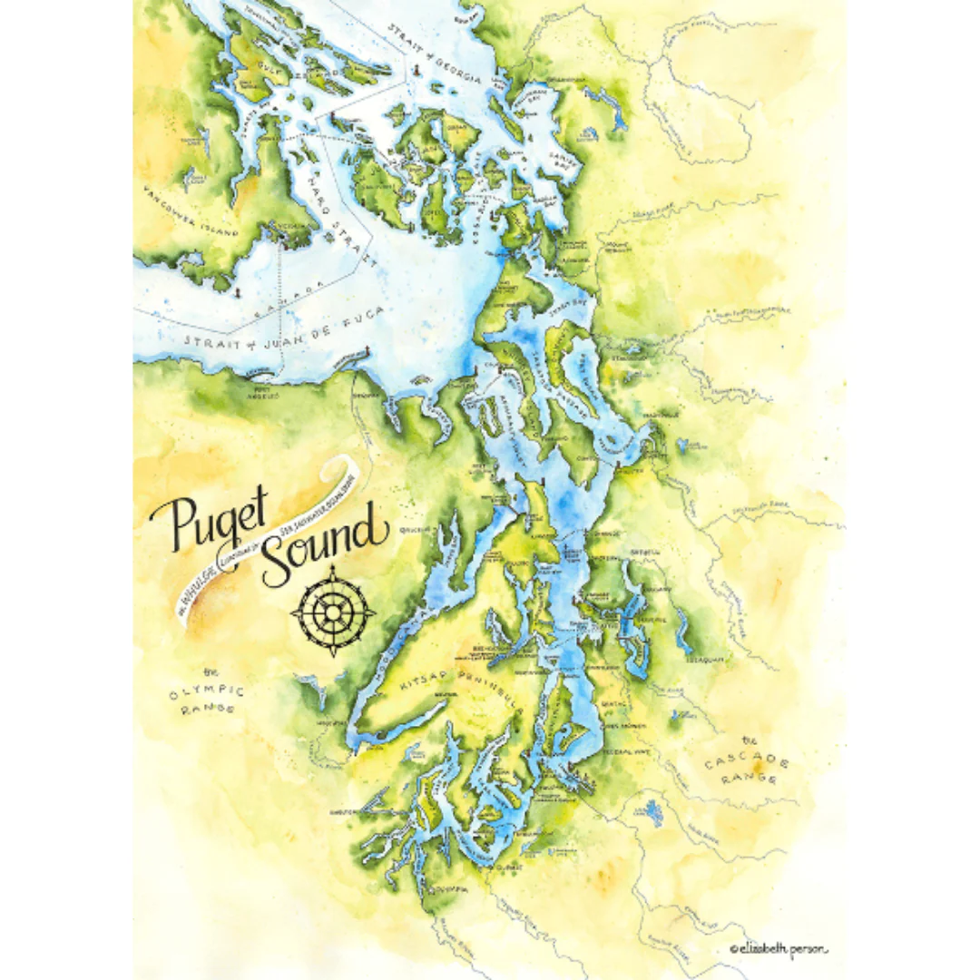
The Story
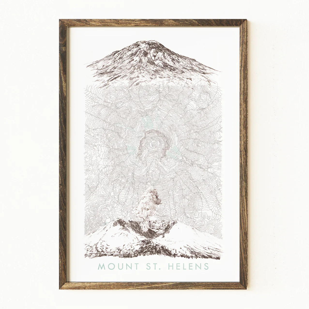
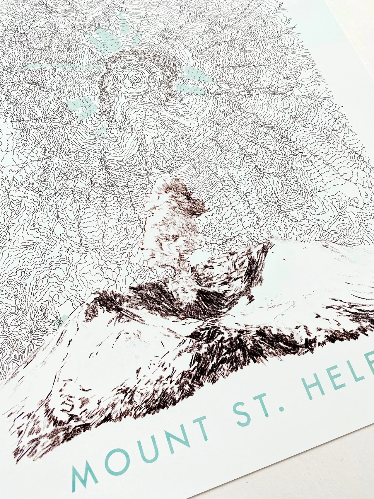
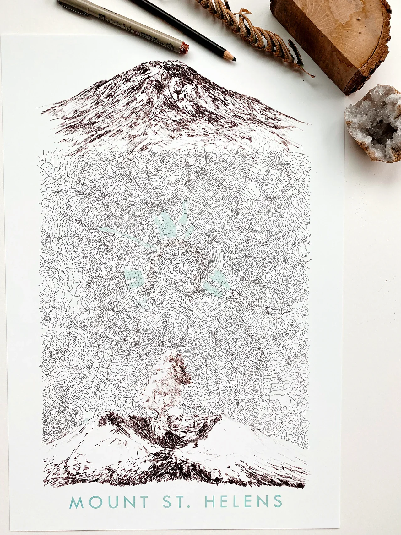
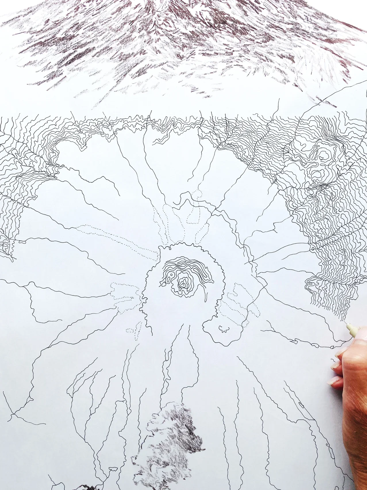
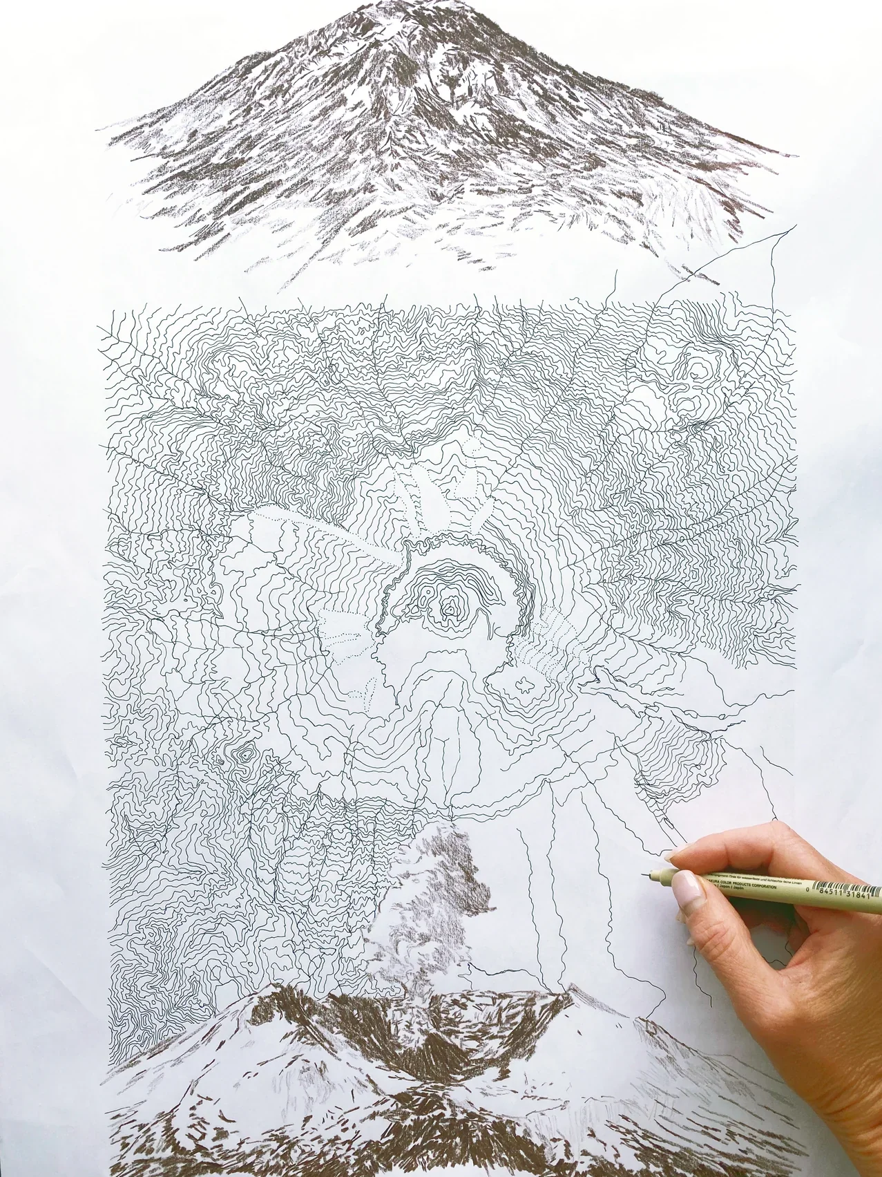
MOUNT ST. HELENS, Washington - before the 1980 eruption and after.
Turn of the Centuries hand-drawn Map depicts the unique topography of the mountain, after eruption, with a sketch of the mountain profile pre-1980 at the top pf the topographical map and a sketch below of its post-eruption form - complete with smoke/ash.
Drawings are brown. Glaciers and Lakes are pale blue.
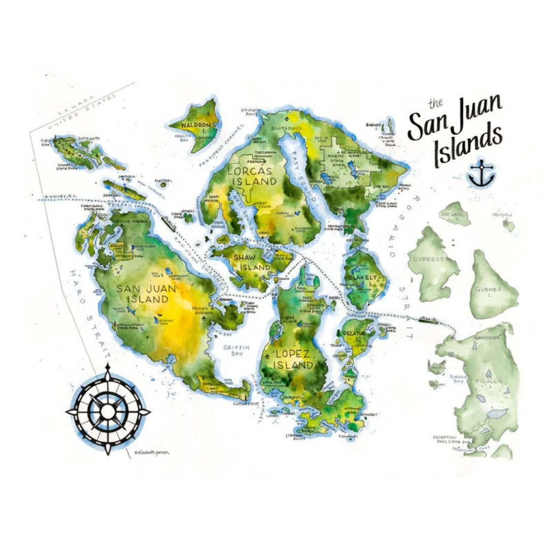
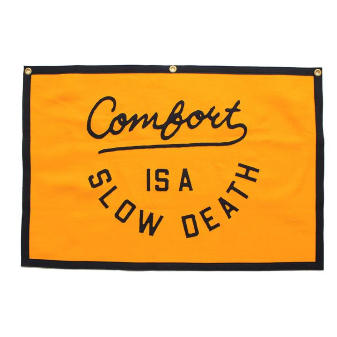
Details & Craftsmanship
Every detail has been carefully considered to bring you the perfect product.
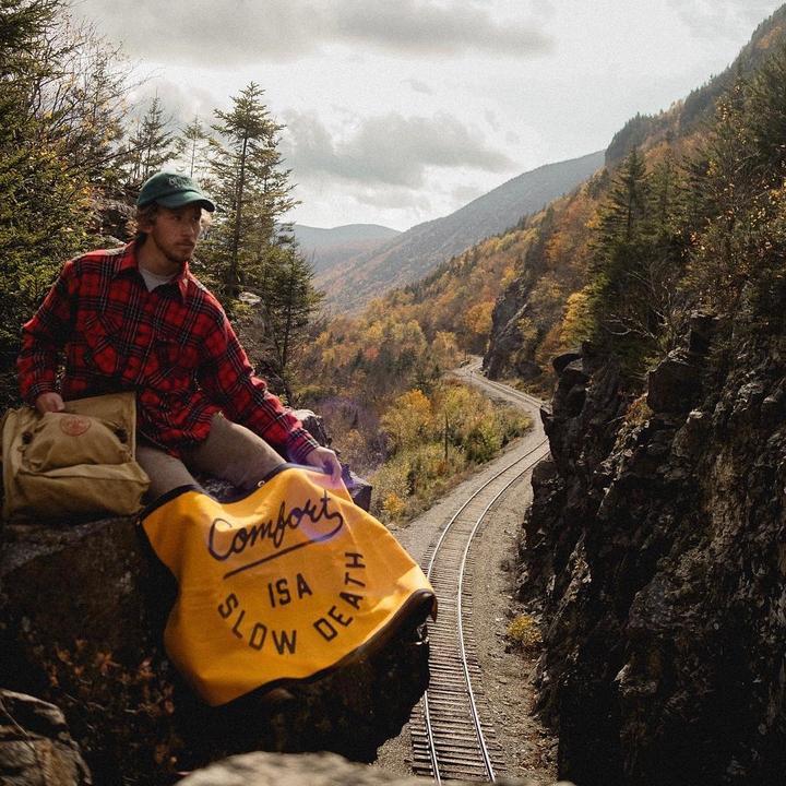
Details & Craftsmanship
Every detail has been carefully considered to bring you the perfect product.
Details & Craftsmanship
Every detail has been carefully considered to bring you the perfect product.
Details & Craftsmanship
Every detail has been carefully considered to bring you the perfect product.
Description
MOUNT ST. HELENS, Washington - before the 1980 eruption and after.
Turn of the Centuries hand-drawn Map depicts the unique topography of the mountain, after eruption, with a sketch of the mountain profile pre-1980 at the top pf the topographical map and a sketch below of its post-eruption form - complete with smoke/ash.
Drawings are brown. Glaciers and Lakes are pale blue.