Original: $34.00
-65%$34.00
$11.90The Story
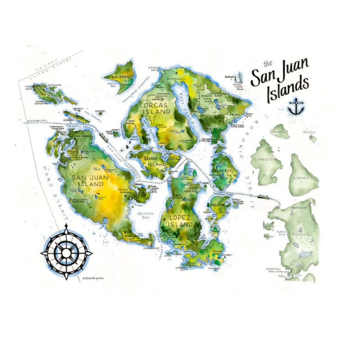
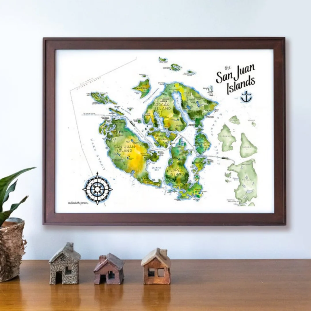
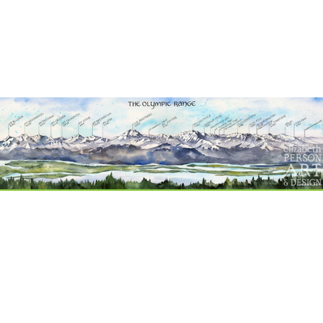
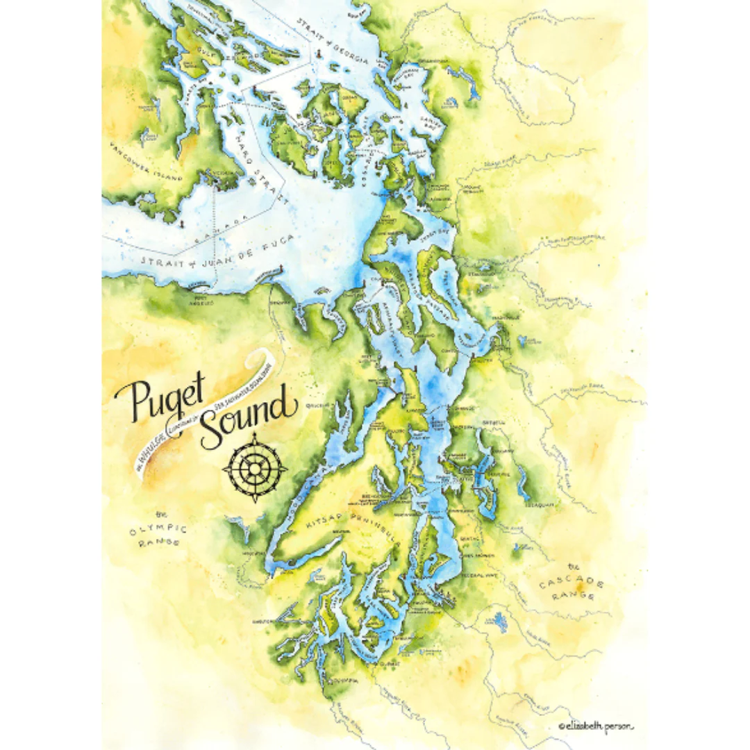
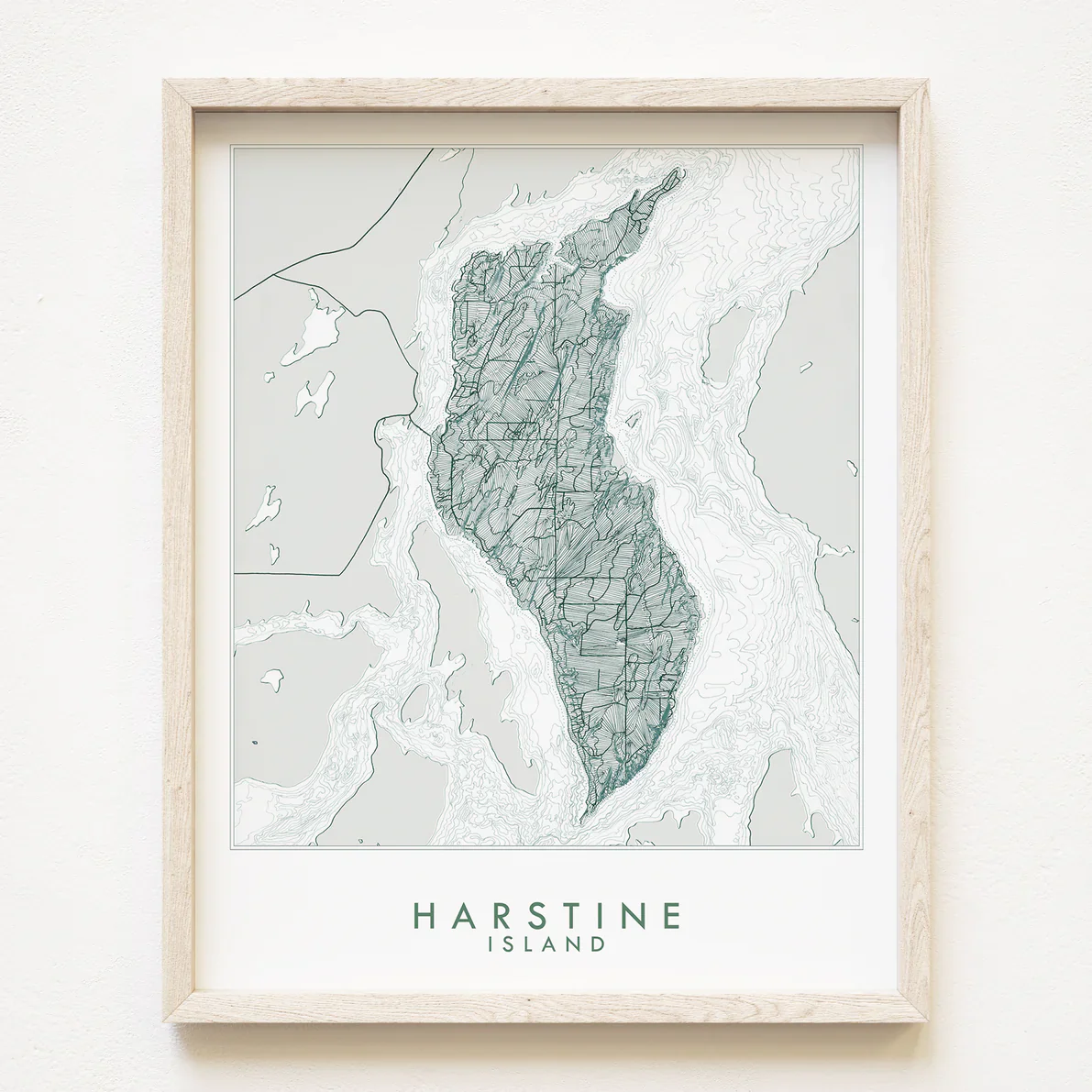
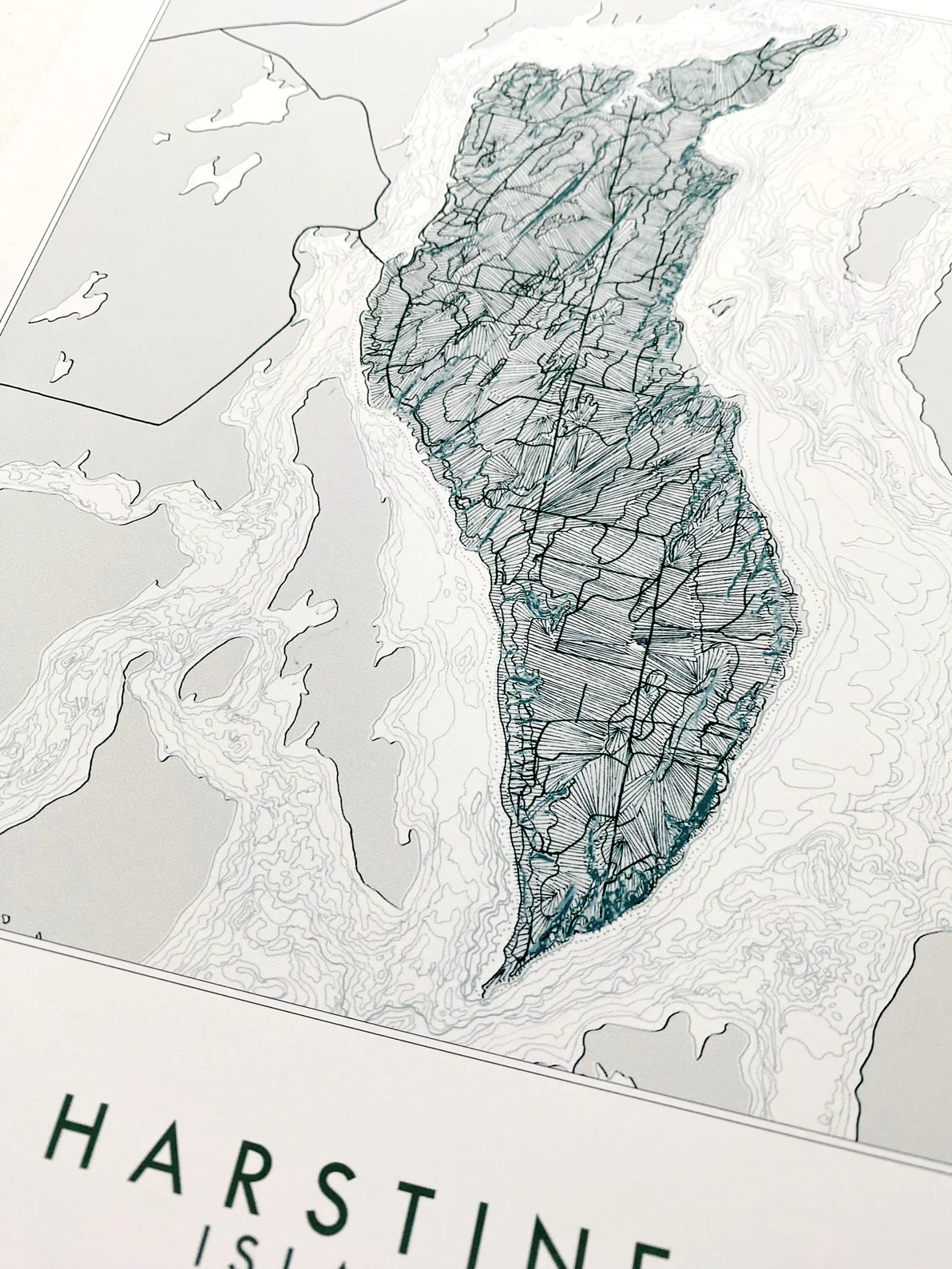
HARSTINE ISLAND, Washington Topographic Bathymetric Map Art Print.
For your Map Wall, memento of your Puget Sound adventures, family vacations, reminder of home.
Turn of the Centuries hand-drawn Harstine Map focuses on the Island, connected by bridge to the peninsula and surrounded by Case Inlet, a crooked finger of the South Sound. Squaxin Island and Hope Island to the southwest, Herron and McMicken Islands to the northeast. On Island, Jarrell Cove State Marine Park features on the northern tip and Spit.
Epson archival coated paper / Epson Professional high-quality inkjet printer / Archival inks
Details & Craftsmanship
Every detail has been carefully considered to bring you the perfect product.
Description
HARSTINE ISLAND, Washington Topographic Bathymetric Map Art Print.
For your Map Wall, memento of your Puget Sound adventures, family vacations, reminder of home.
Turn of the Centuries hand-drawn Harstine Map focuses on the Island, connected by bridge to the peninsula and surrounded by Case Inlet, a crooked finger of the South Sound. Squaxin Island and Hope Island to the southwest, Herron and McMicken Islands to the northeast. On Island, Jarrell Cove State Marine Park features on the northern tip and Spit.
Epson archival coated paper / Epson Professional high-quality inkjet printer / Archival inks